
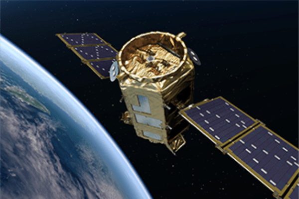
KOMPSAT-2 is the second generation of satellites from the Korean research consortium KARI, following the concluded KOMPSAT-1 mission. Every day it records an area of about 1,700,000 km2 from a height of 685 km in 4 spectral channels and a spatial resolution of 1.0 m. Due to the preservation of wavelength ranges similar to the spectral channels of the Landsat-7 satellite, these images are compatible with each other, which can be very important when comparing environmental indicators and other parameters (same for KOMPSAT-3 and KOMPSAT-3A). This satellite has been operating since 28 July 2006, and as a result contains a rich archive of images acquired over the past two decades.
Imagery is available in 2 different processing levels:
– product 1R – after radiometric and sensor correction, in TIFF format;
– 1 G product – after radiometric and sensor correction, and also orthorectified, in GeoTIFF format.
In addition, the user can choose whether to receive the data in the form of a ready image on which pansharpening was carried out, or in the form of separate channels (R, G, B, NIR + panchromatic channel).
Specification
Spatial resolution (GSD)
Panchromatic images: 1 m
Multispectral images: 4 m
Spectral bands
Panchromatic: 500 – 900 nm
Multispectral:
Blue: 450-520 nm
Green: 520 – 600 nm
Red: 600-690 nm
NIR: 760-900 nm
Revisit frequency
3.5 days average
Capacity
1 700 000 sq km
Radiometric resolution
10 bits per pixel
Webpage:

