

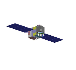
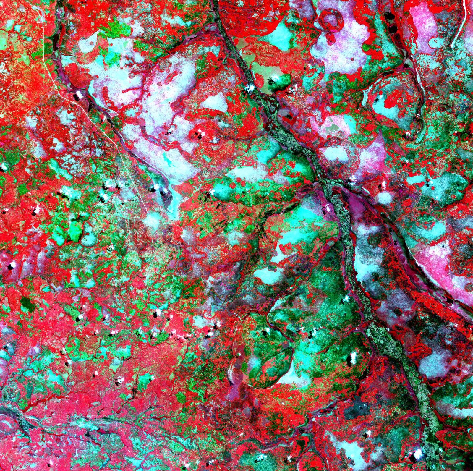
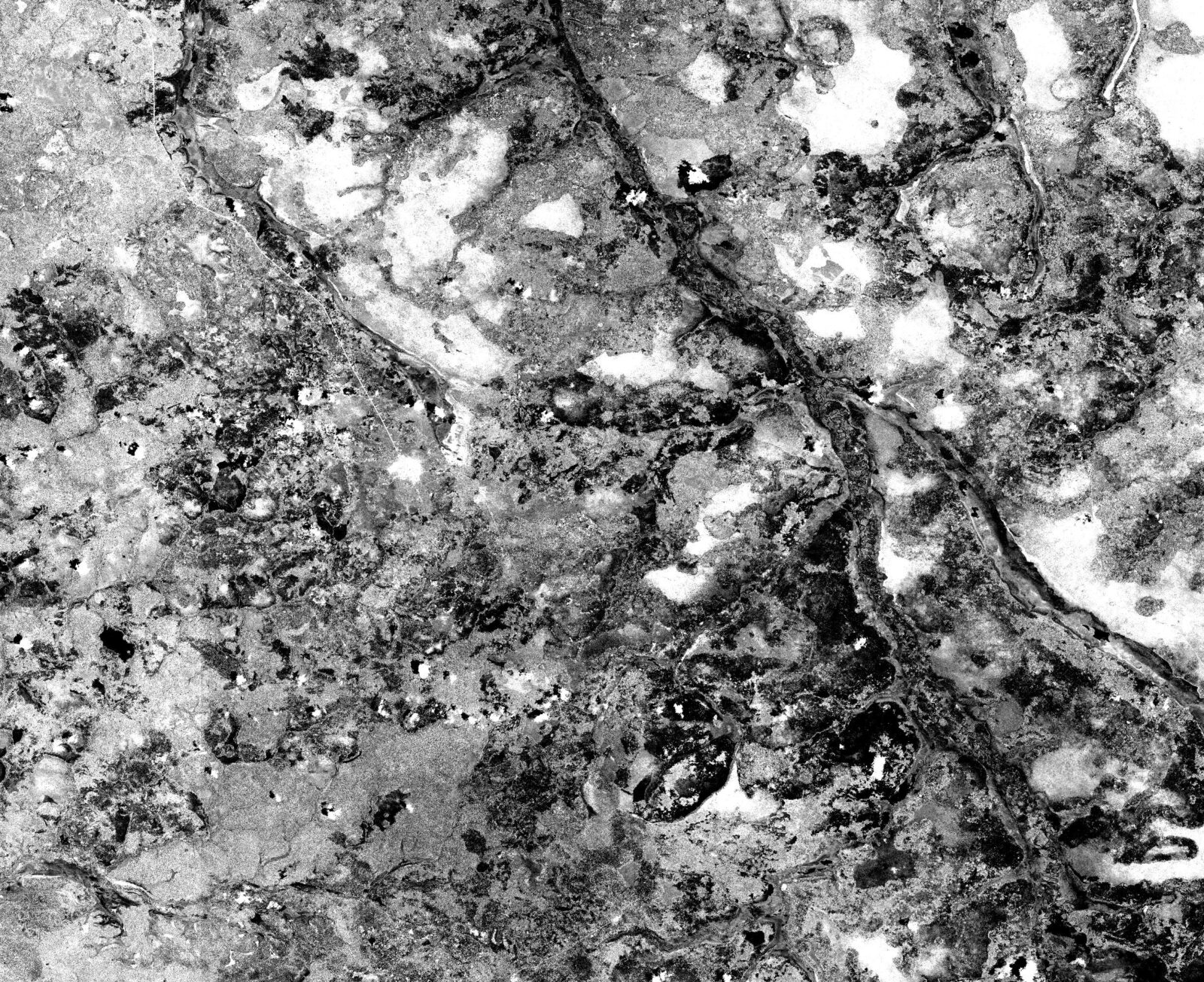
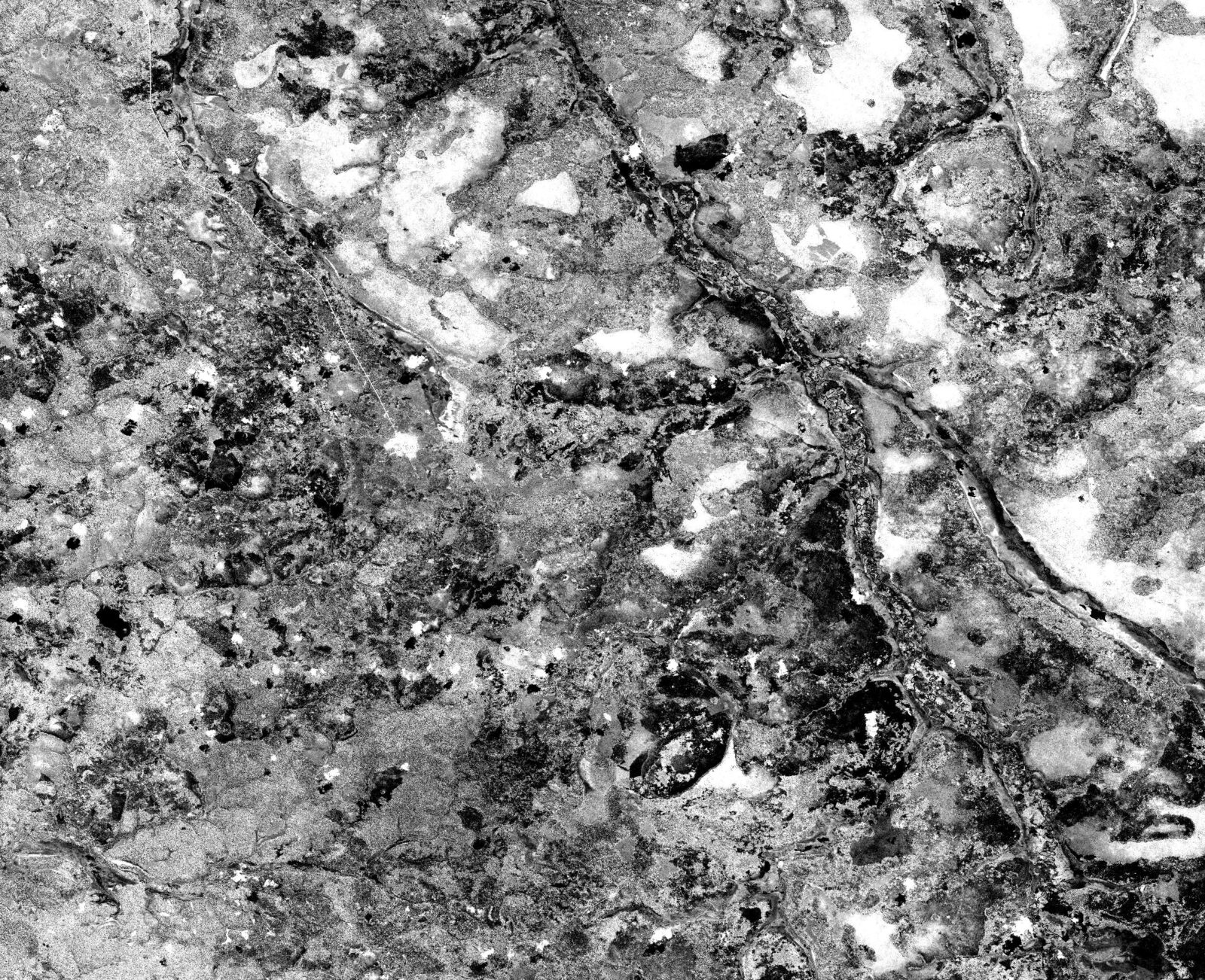
The ZiYuan (ZY-3) (or Natural Resources) constellation consists of a trio of ~2.1 m resolution satellites with stereo capabilities for 1:50000 maps. The ZiYuan objective is to provide a database for basemapping used for resource mapping, environmental surveys, disaster monitoring, urban planning and national security. Sensor bands onboard include PAN and 4 band MS. Revisit frequency is every 3 days and orbits every 97 minutes. Each satellite was designed for a 5-year lifespan.
Specification
Spatial resolution
Panchromatic images: 2.1 m
Multispectral images: 5.8 m
Stereo
Spectral bands
Pan 500-800 nm
Blue: 450-520 nm
Green: 520-590 nm
Red: 630-690 nm
Near-infrared: 770-890 nm
Radiometric resolution
10 bits per pixel
