

TerraMatch
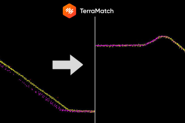
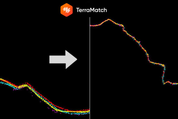
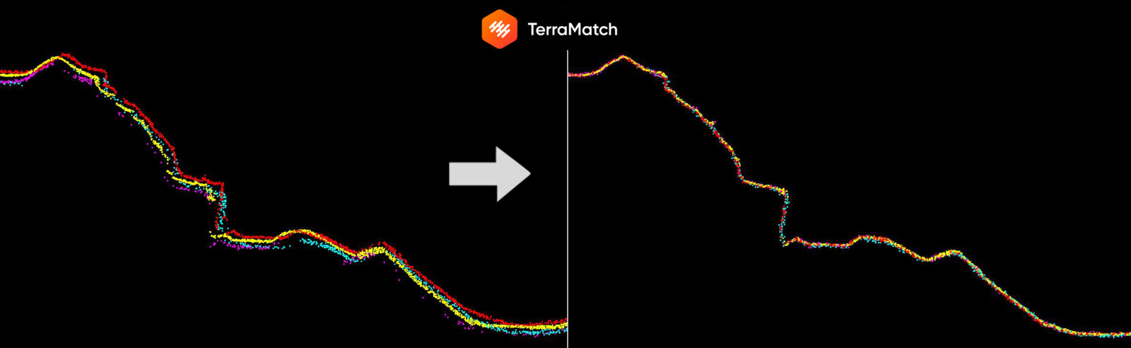
The TerraMatch application is an advanced tool to improve the accuracy and quality of a raw point cloud. It can be used to combine LiDAR point clouds from various sources into a uniform and coherent data set: ALS, MLS, ULS or SLAM. Such a combination of point clouds allows you to maintain the speed of data acquisition, obtain the completeness of the resulting point cloud due to the different “perspective” of platform measurements, making it an excellent source of data for further spatial studies and analyzes.
TerraMatch software includes extensive reporting tools, thanks to which it enables the accuracy assessment and verification of processed projects. Visual assessment tools, on the other hand, enable quick identification of areas characterized by lower accuracy of acquired LiDAR point clouds.