GreenSpaces – in Poland

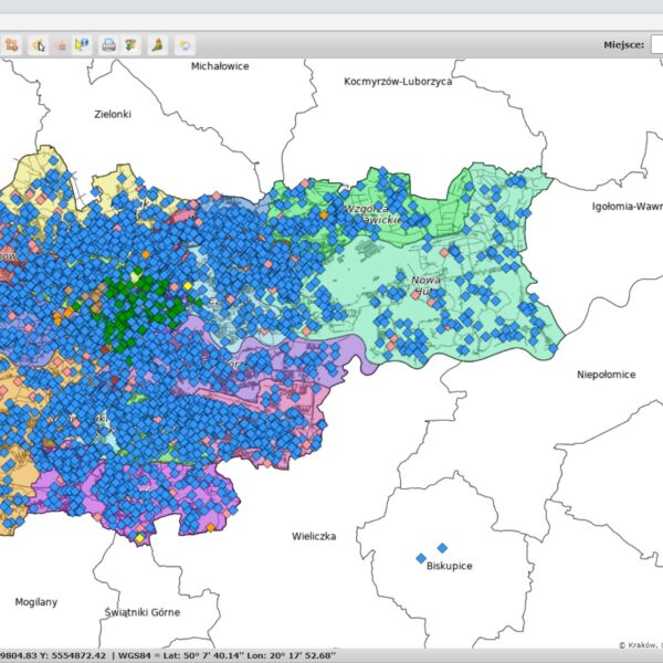
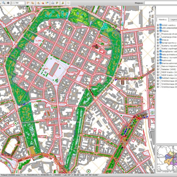
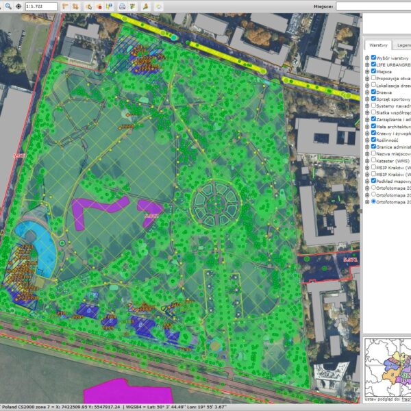
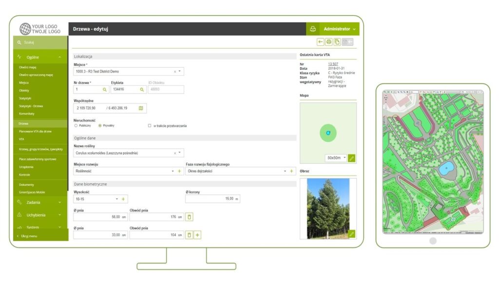
GreenSpaces is an advanced yet intuitive tool that combines database systems with geographic information (maps), designed for managing and monitoring landscaped green areas.
The application makes it possible to collect data and execute a series of commands in a single module, thus implementing an efficient organization of work, which significantly increases the quality and efficiency of the tasks carried out.
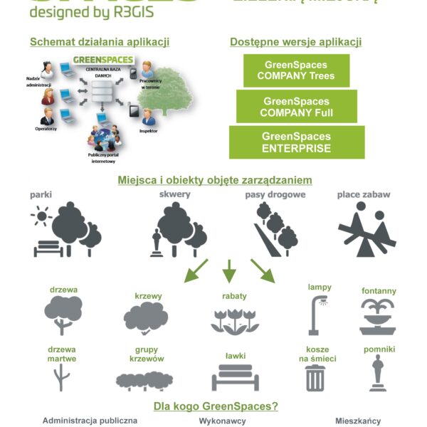
GreenSpaces is an application designed to manage and monitor trees or shrubs, but also objects of so-called small architecture (i.e. lamps, benches, trash garbage cans), playgrounds, pavement or even irrigation systems, the maintenance and upkeep of which is the task of not only local authorities, but also private investors.
GreenSpaces allows for:
- collecting and organizing data,
- generating reports and statistical analyses,
- planning and accounting for maintenance work,
- cost estimating for orders,
- minimizing risk and liability in case of accidents caused by trees or playground equipment,
- documenting and optimizing work, quality control,
- demonstrating the effectiveness of activites to superiors and the public,
- informing and engaging residents
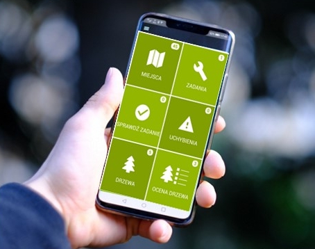
GreenSpaces is designed to work not only in the office, but also in the field. The mobile application allows you to complete information about objects (e.g. trees, lawns, benches) during the inspection. Using the camera and GPS built into the device, it is possible to attach a photo of the object in question and indicate its location. After completing the task, the employee can immediately send a report to the principal with photographic documentation.
Software versions
GreenSpaces offers several versions of the software tailored to specific needs. It can be used by PUBLIC ADMINISTRATION to manage green infrastructure in a city or municipality, but also by ENTERPRISES who want to manage trees or playgrounds on behalf of their clients. The basic versions of TREES and PLAY can be combined, as well as extended with additional modules.
GreenSpaces TREES
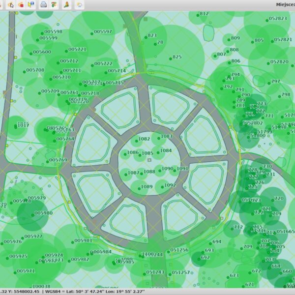
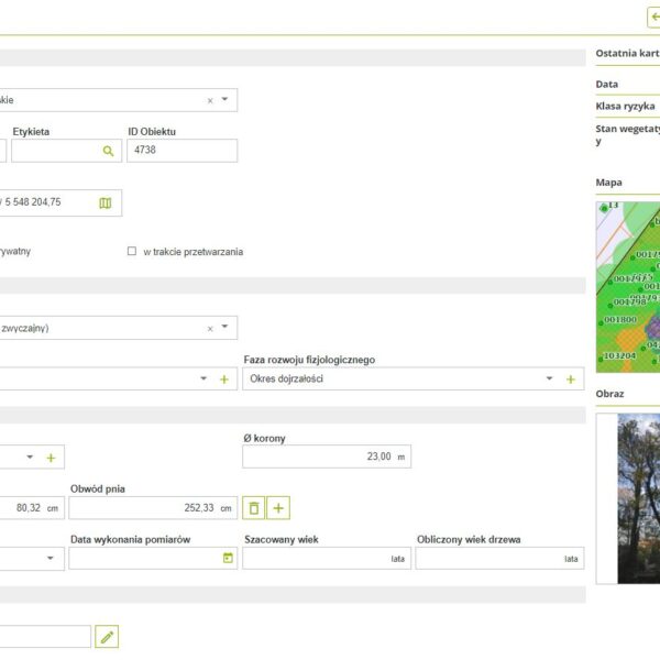
Allows the management of spatial and descriptive data on trees and shrubs. In addition to basic parameters such as species, crown diameter, trunk circumference, height or age, information can be collected on the health status, presence of nesting sites for birds or orders for necessary works (completion date and costs).
Worth mentioning is the availability of a TREE ASSESSMENT CARD in the system, as well as the possibility to determine the conflict with the immediate neighbourhood and the class of danger the tree may present to the surroundings.
GreenSpaces PLAY
It allows not only the collection of basic information about play and sports equipment, but also the documentation of periodic inspections of their technical condition and the planning of maintenance work.
Additional Modules and Functions
ENVIRONMENT
METEO Module
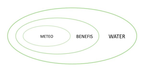
It incorporates the most up-to-date weather data into its greenery management. This applies to both planning and analysis of the activities carried out and costs. The data is displayed in the form of an easy-to-read weather panel, including a 72 h forecast and a weather data service.
BENEFITS Module
It allows the calculation of the value of ecosystem services provided by trees (e.g. CO2 sequestration, particulate matter (PM) removal, oxygen production, reduction of ambient temperature through shade and evapotranspiration). The module is based on biometric characteristics of trees and shrubs collected in the GreenSpaces in the GreenSpaces database and climate data (METEO module).
WATER Module
Using this module, it is possible to estimate how much water is needed to irrigate the trees, taking into account the species and weather conditions. It is an additional extension of the METEO and BENEFIS modules.
JOB PLANNING
WORKS Module
It allows advanced yet simple and intuitive planning and optimisation of employee activities. Tasks can be assigned to specific individuals or teams, displayed in a weekly overview, and time and costs can be monitored. In combination with the METEO module, weather conditions will be taken into account in the scheduling.
REAL TIME SYNC Function
This is a very useful feature available to users of the WORKS module, consisting of real-time synchronisation of data between the field worker and the person using the application in the office. It allows the progress of work to be monitored in real time, including the rapid catching of any obstacles to tasks.
PARTICIPATION OF RESIDENTS AND DATA SHARING
The GREEN CITY Module
It has the character of a public portal where basic information about the city’s green infrastructure is made available in the form of an interactive map. It gives residents the opportunity to learn about how green spaces are managed and their ecosystem benefits.
OPEN Module
It enables data to be made available on other platforms using OGC WMS and WFS servers.
OPEN module
It has the character of a public portal where basic information about the city’s green infrastructure is made available in the form of an interactive map. It gives residents the opportunity to learn about how green spaces are managed and their ecosystem benefits.
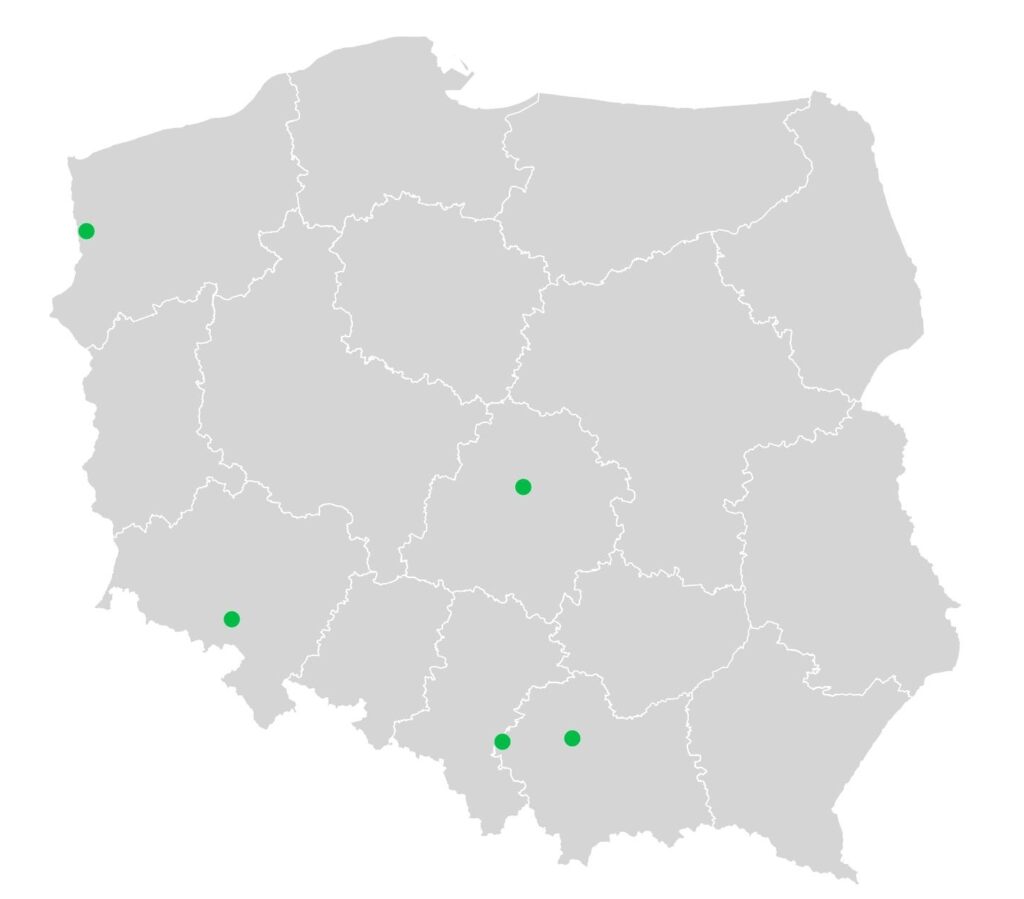
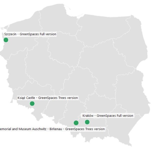
GreenSpaces in Poland
