Our company offers the variety of analysis from GIS and RS scope. Nowadays, boundaries of possible analysis and implementation of that field is just imagination. The development of techniques is so dynamic, but we keep up to pace and we still broaden our ideas and variety of analysis to perform. We are open for your problems and ideas. Feel free to contact us!
Most popular analysis:
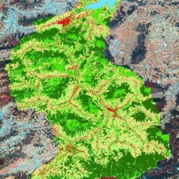
- Land use classification based on satellite imagery,
- Vegetation condition analysis,
- Land use change detection,
- Terrain masses moves,
- Analysis on cost-effectiveness and route optimization,
- Optimization of investment localization,
- Flooding prognosis,
- Viewshed analysis,
- Map of the costs,
- Profiles creation,
- 3D models creation,
- DEM, DTM and derived products
- Solar analysis,
- Aviation obstacles detection.


