

TerraModeler
Application dedicated to generating numerical surface models (TIN mesh) based on LiDAR point clouds from various platforms (eg ALS or MLS).
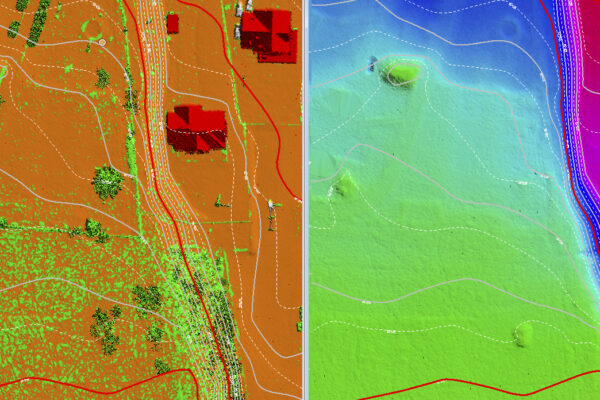
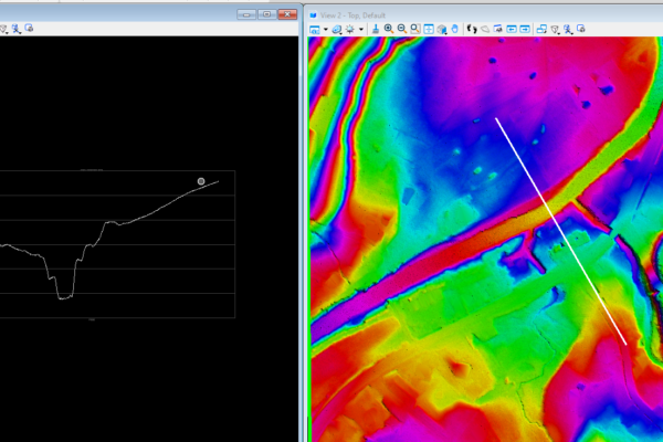
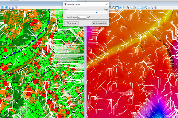
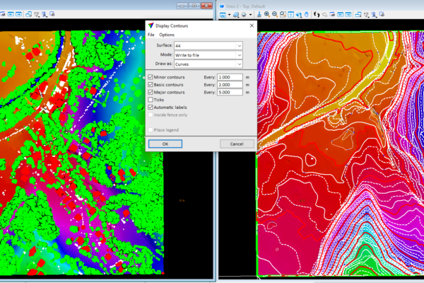
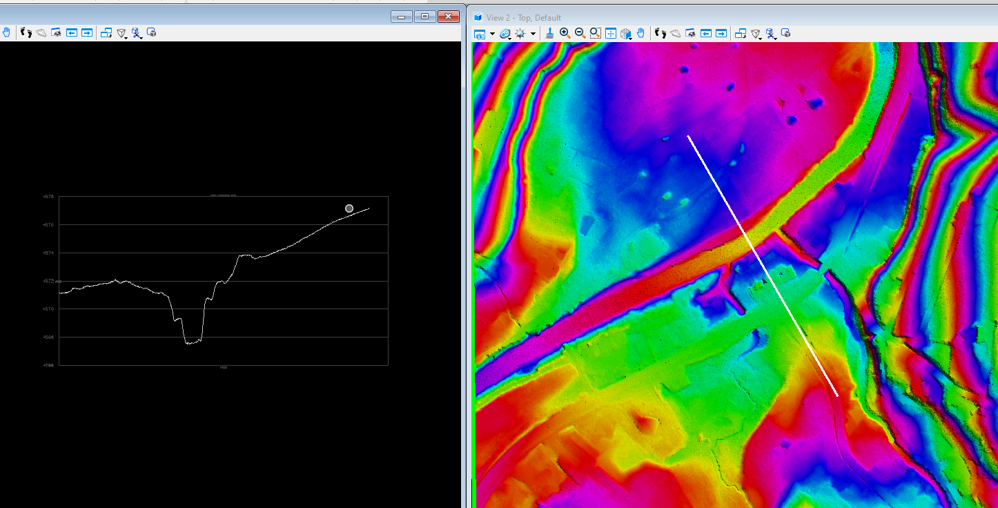
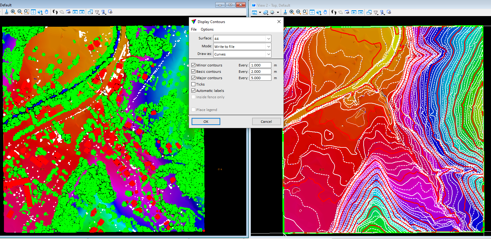
TerraModeler software enables editing and visualization of surfaces, including in the form of contour lines, regular GRID mesh or colored or shaded triangle mesh – TIN). The TerraModeler application allows you to calculate and visualize the directions and slopes of the terrain. In conjunction with the TerraPhoto application it is possible to texturize height models.