

TerraPhoto
An application dedicated to processing images recorded simultaneously with LiDAR point clouds during a measurement mission, regardless of the platform (plane, gyroplane, drone or car).
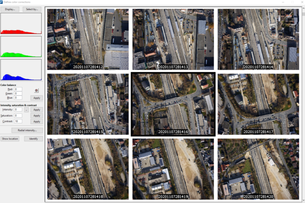
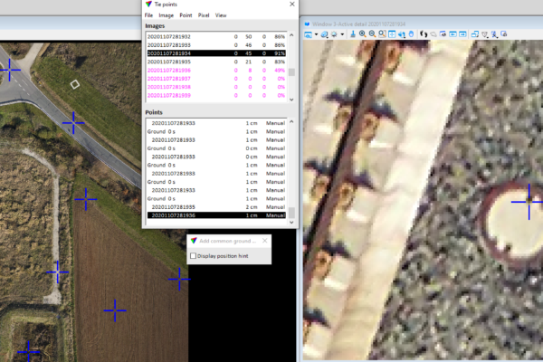
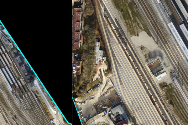
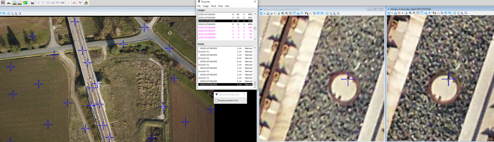
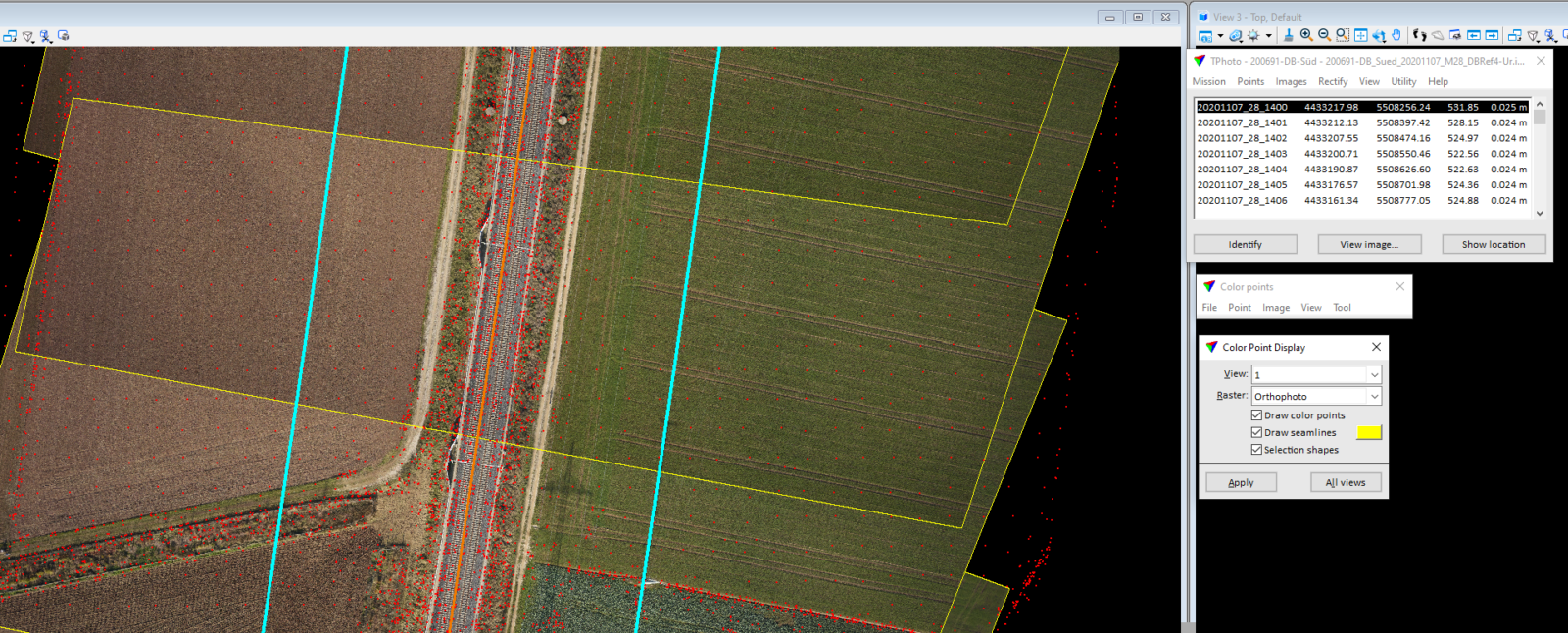
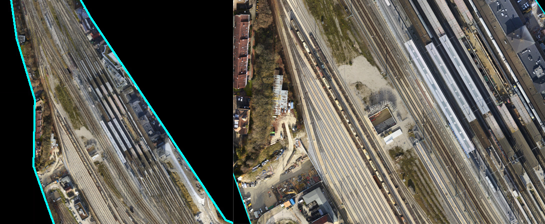
The TerraPhoto application provides high-quality tonally balanced orthomosaics, generated based on the DTM derived from the LiDAR point cloud classification. Achieving high accuracy of aligning photogrammetric photos is possible thanks to the positioning of the source images by means of binding points. Additionally, the application can use GCP (Ground Control Point) to improve the absolute orientation of photos. The application allows you to convert camera calibration files from various mobile and aviation systems to your own camera file format. The application accepts files in the following formats: ECW, GeoTIFF, TIF, BMP, CIT, COT, RLE, PIC, PCX, GIF, JPG2000 and PMG.