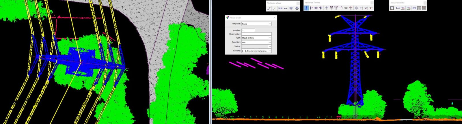
TerraScan
The main application of the Terrasolid software, allowing the management and processing of 3D point clouds from various laser scanning platforms (eg ALS, MLS, TLS, ULS). The application enables the implementation of works from very small projects to the largest ones containing billions of XYZ points. An extensive tool palette enables fully automatic or semi-automatic classification of point clouds, as well as carrying out a series of analyses and engineering calculations.
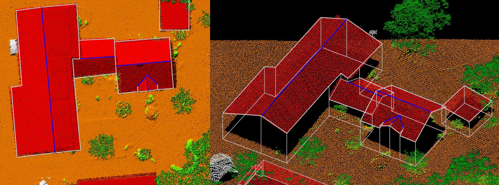
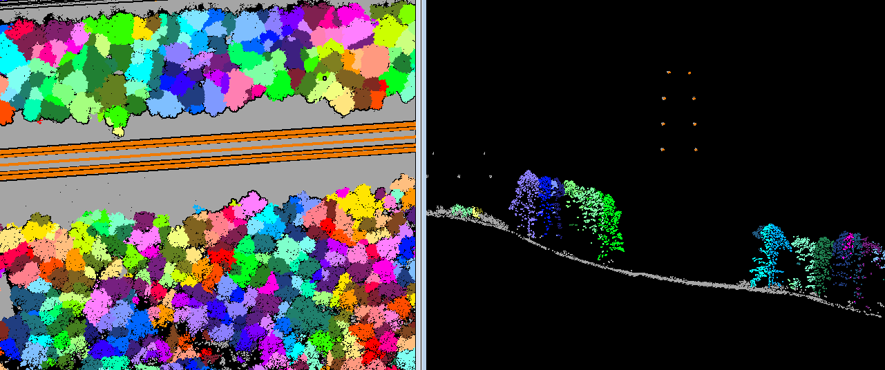
Terrasolid software is an ideal solution for projects in the field of civil engineering, broadly understood CAD design or such branches of economy as forestry. The Terrasolid application enables the implementation of simple measurements and analyses, as well as the automation of most production processes during the processing of LiDAR point clouds.