
“Land cover and ventilation Atlas of Krakow” under editing dr hab. inż. Piotr Wężyk and dr Katarzyna Bajorek-Zydroń is one of the effects of the project “Integrated spatial data monitoring system for air quality improvement in Krakow” (MONIT-AIR).
“Atlas …” there are three versions available:
- book;
- electronic / website
(http://www.ekocentrum.krakow.pl/939,a,atlas-pokrycia-terenu-i-przewietrzania-krakowa.htm) and - interactive
(http://umk-gd.maps.arcgis.com/apps/MapSeries/index.html).
“Atlas …” is the result of several months of work by an interdisciplinary team of specialists with : ProGea 4D Ltd., ProGea Consulting, scientists from Cracow universities including from Univesity of Agriculture in Krakow (the Faculty of Forestry), Institute of Meteorology and Water Management (IMGW), employees of the Town Hall and the Urban Green Management (ZZM).
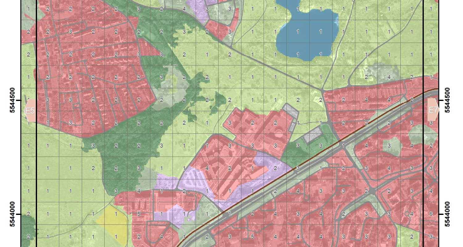
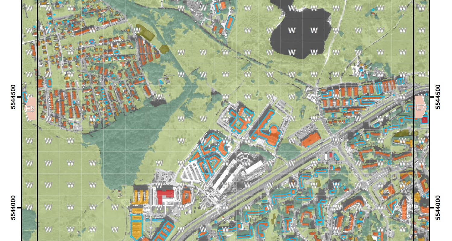
“Atlas …” consists of a text section, explaining the methodology of the research carried out and the resulting conclusions, the most important part of the “Atlas …” is the rich cartographic component, which consists of:
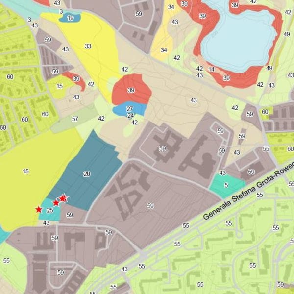
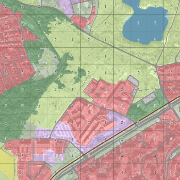
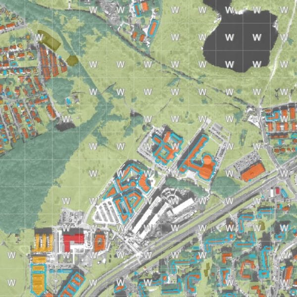
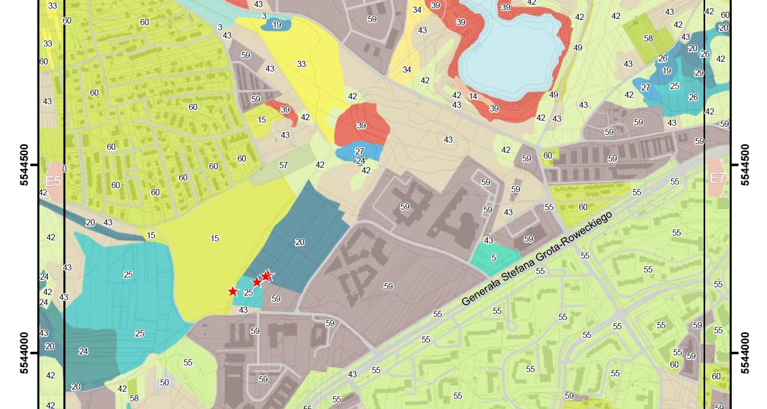
- Land covered and surface roughness map;
- Vegetation and average wind condition in Krakow;
- Vegetation map of Krakow;
- Nature valorisation of Krakow;
- Average annual wind condition at 4 meters above the ground;
- Average conditions of air pollution dispersion.
We encourage you to use the resources „Land cover and ventilation Atlas of Krakow”.

