ProGea Consulting, as a member of a scientific consortium composed of research institutions and companies (on the Polish side: Institute of Technology and Life Sciences in Falenty, Małopolska Research Center in Krakow, AGH University of Science and Technology and Central Mining Institute; on the German side: Friedrich-Schiller University , Helmholtz-Zentrum für Umweltfor-schung GmbH, Codematix GmbH and GDS GmbH) implemented a research project entitled: “Sustainable Land and Water Management of Reservoir Catchments (acronym SaLMaR), coordinator by the Polish side was the Institute of Technology and Life Sciences in Falenty – Malopolska Research Center in Krakow – MOB.
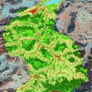
SaLMaR was one of seven research projects that received funding as part of the competition for Polish-German cooperation for sustainable development. The project was carried out simultaneously in Poland and Germany and concerned the sustainable management of water reservoirs in these countries. The aim of the project was to locate and identify sources of pollution in the aquatic environment and identify optimal methods of their elimination using hyperspectral and thermal remote sensing techniques. Moreover, they were verified in the field and parameterized and hierarchized, taking into account the results of object classification (OBIA) of the areas surrounding a given reservoir. Coherent ecological and economic as well as structural and utility criteria have been developed, enabling the sustainable development of the area, along with the optimization of its functions, especially in terms of the development of tourism, sport and recreation. Variants of land management, including agricultural land, were developed in terms of qualitative and quantitative optimization of water resources, the variability of which was simulated using a catchment model.
The results gathered in the project were transformed to interested groups of users, by implementing and making available (via the Internet) the Reservoir Basin Information System (RBIS).
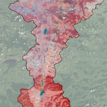
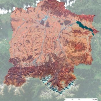
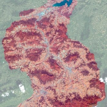
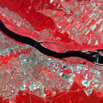
ProGea Consulting was primarily responsible for the Object Based Image Analysis (OBIA) of remote sensing images, incl. high-resolution RapidEye images and AISA hyperspectral images.
The official website of the project is available at http://www.geoinf.uni-jena.de/7659.0.html?&L=2


