

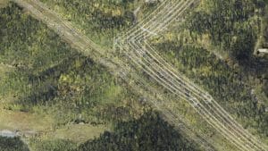
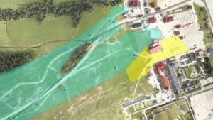
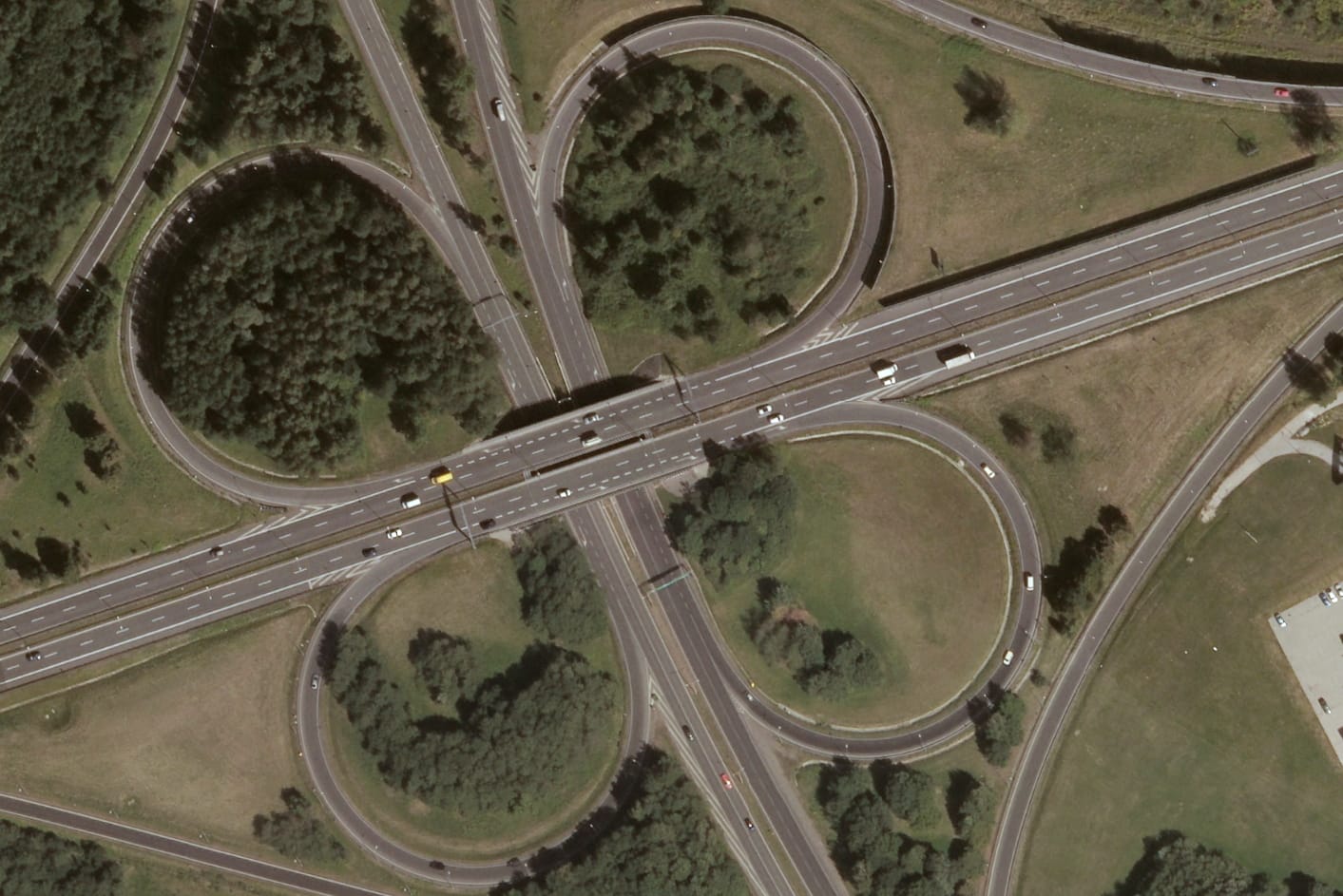
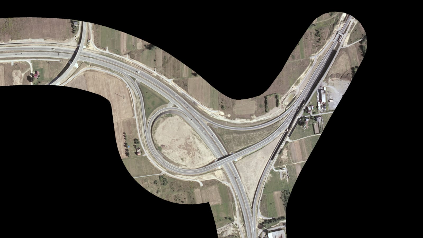
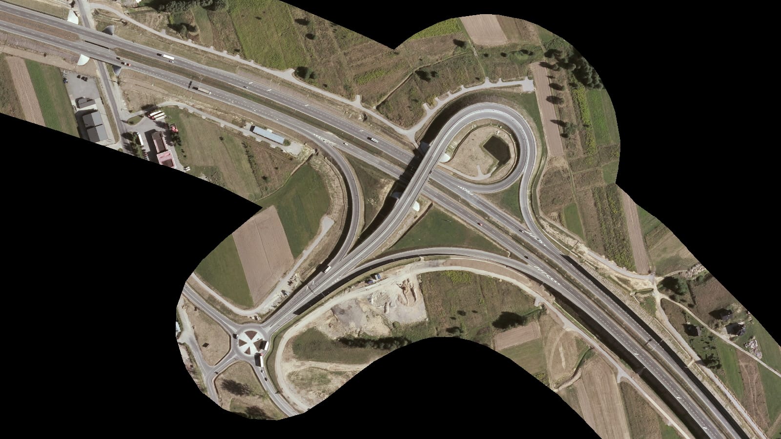
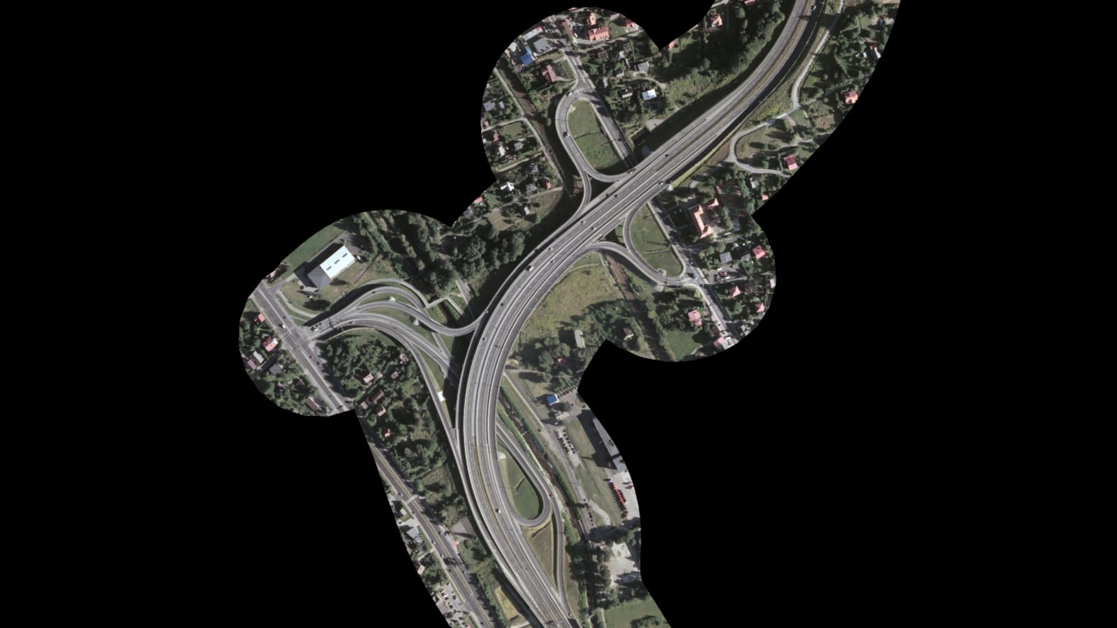
The aim of the project was to create an orthophotomap of the S1 expressway on the Bielsko-Biała – Żywiec section for the purpose of environmental analyzes. The study area was about 8 km2. As part of the project, the Digital Terrain Model was updated on the basis of LiDAR data and the aerotriangulation of aerial photos obtained from the resources of the Central Geodetic and Cartographic Documentation Center. On this basis, we developed an orthophotomap with a resolution of 30 cm for the section of the S69 road (now S1) Bielsko-Biała – Żywiec, 30 km long with a 100 m lane on both sides of the road.
