

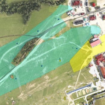
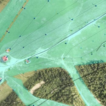
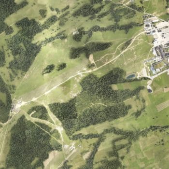
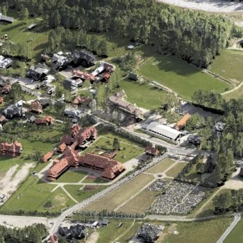
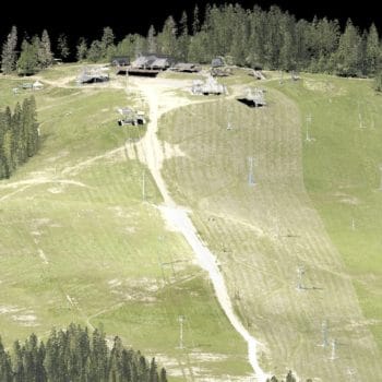
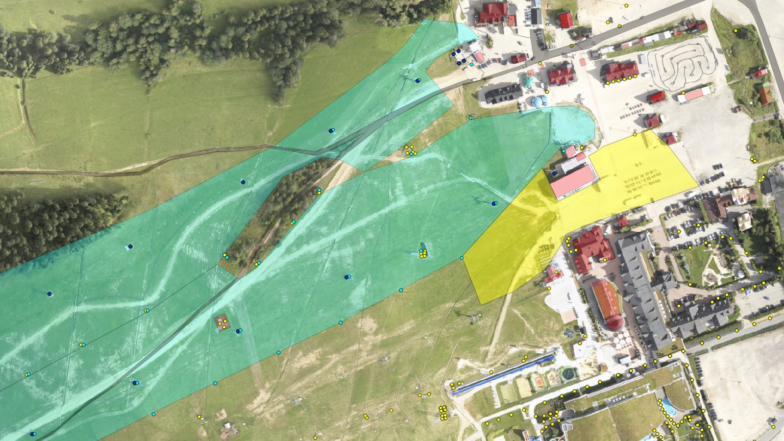
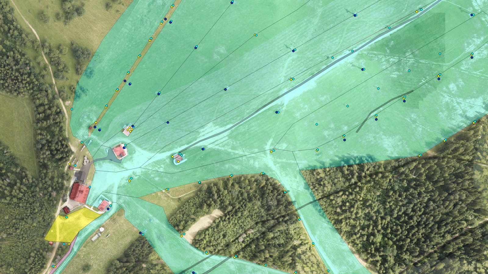
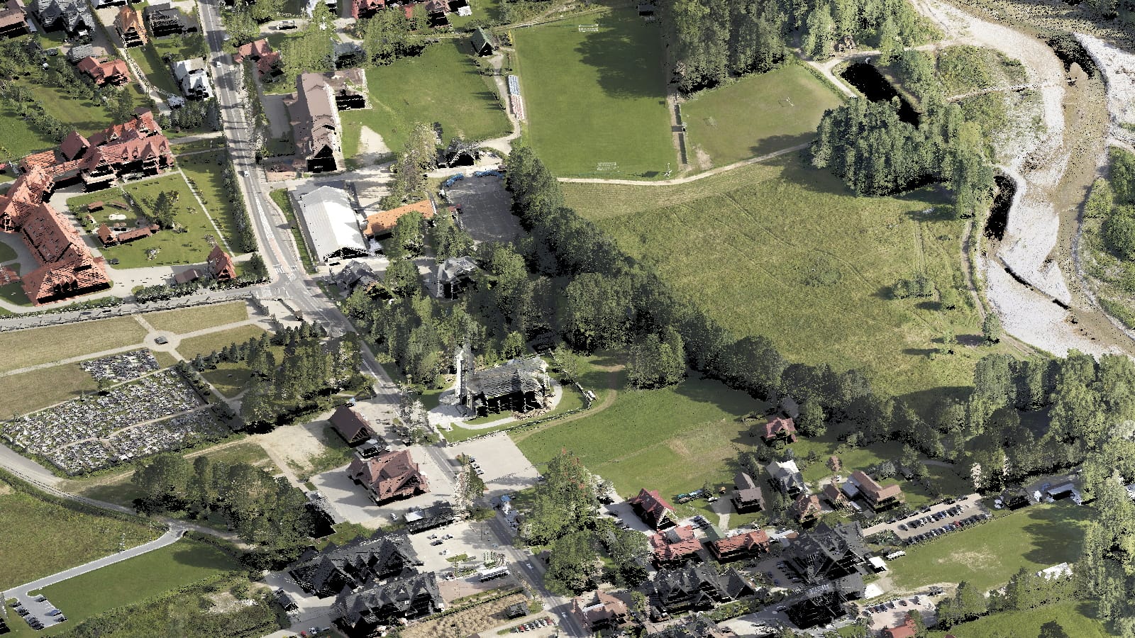
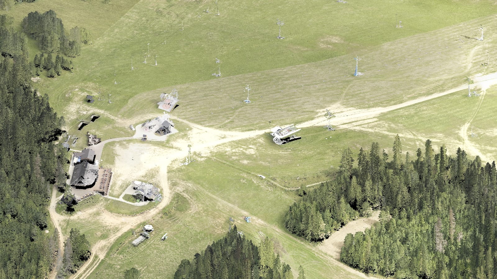
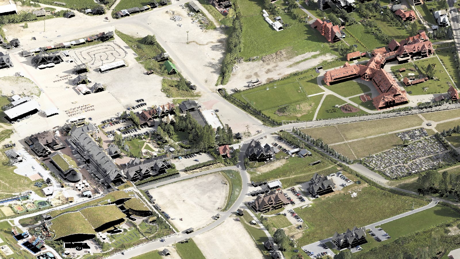
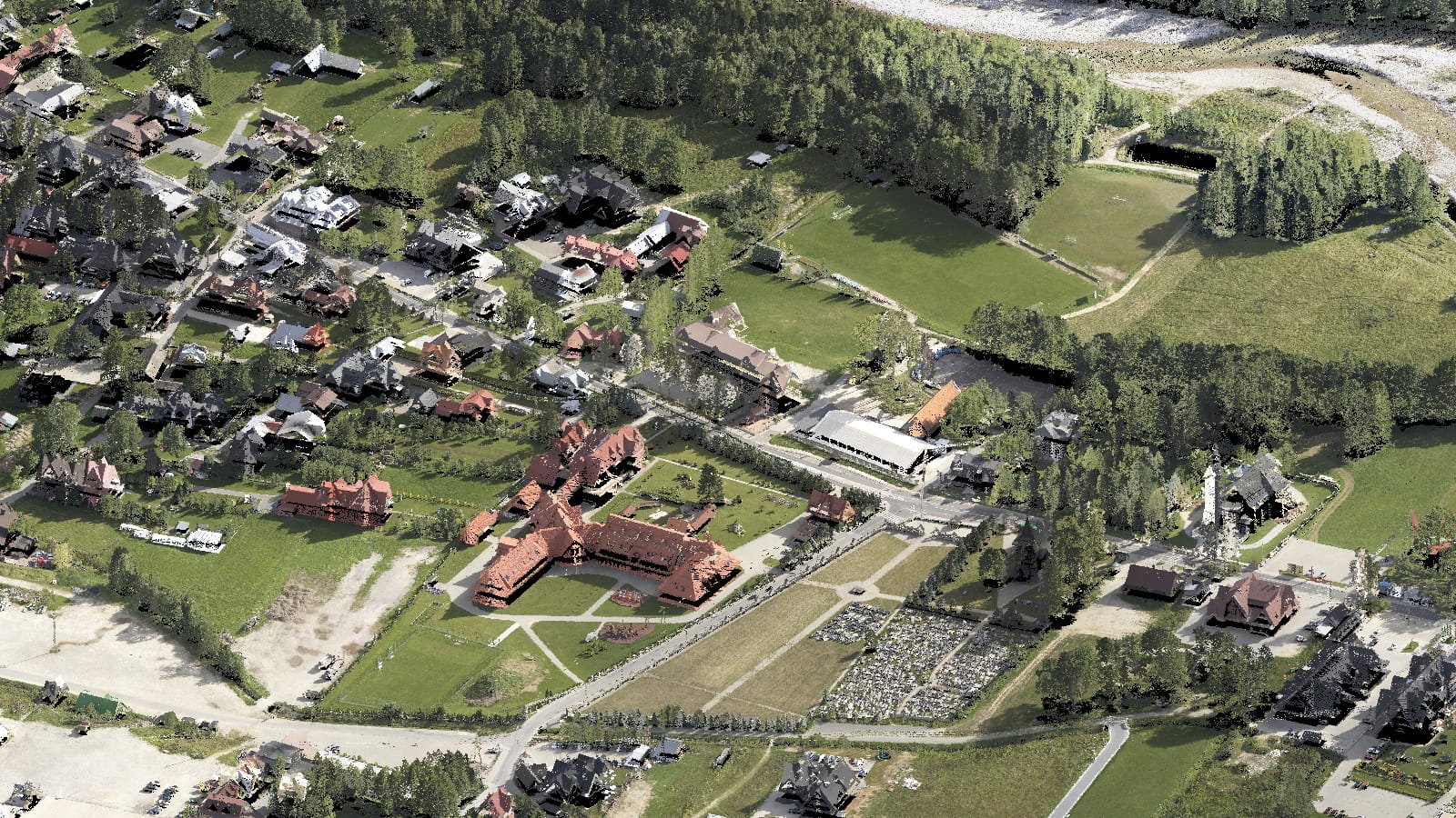
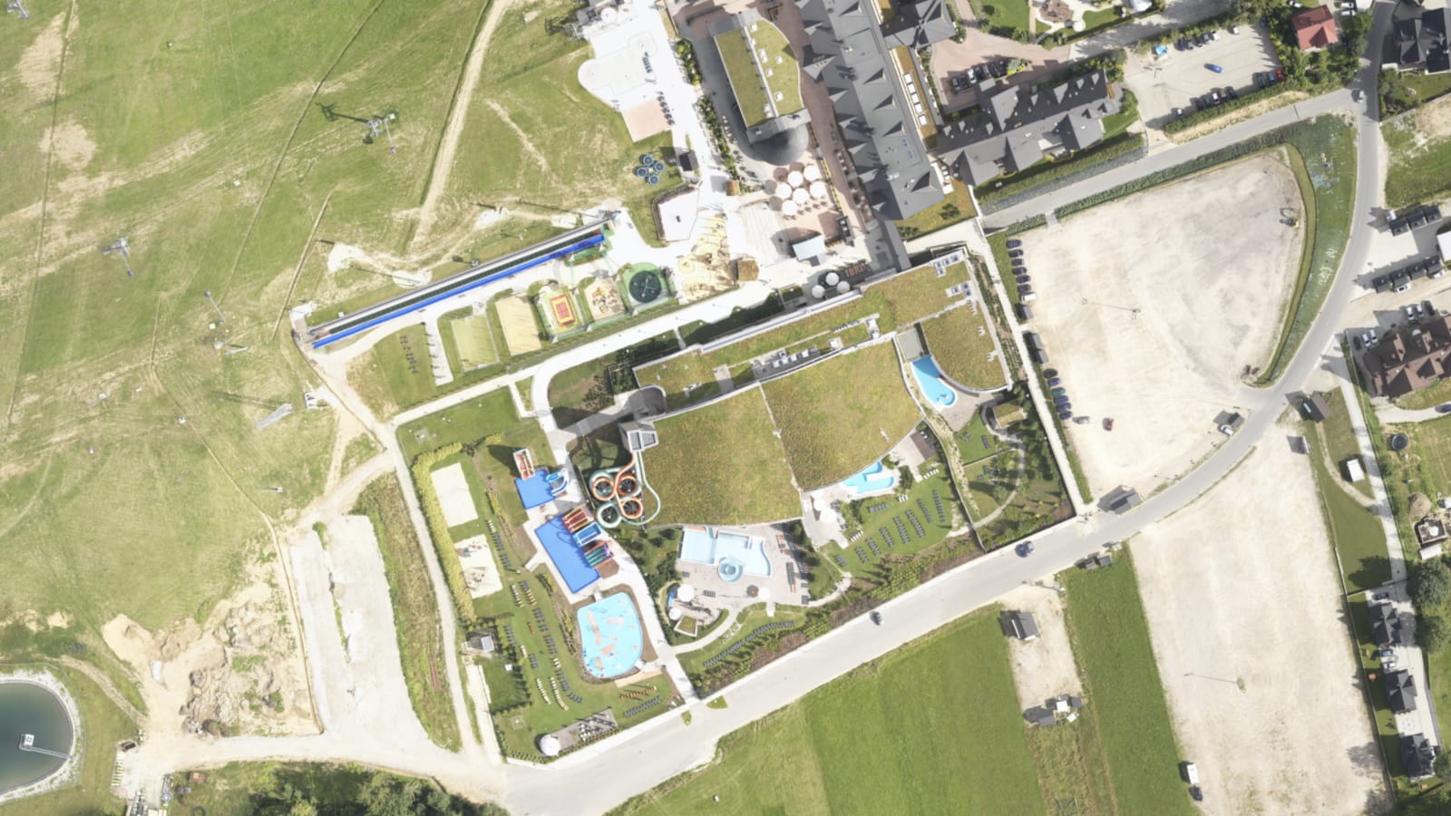
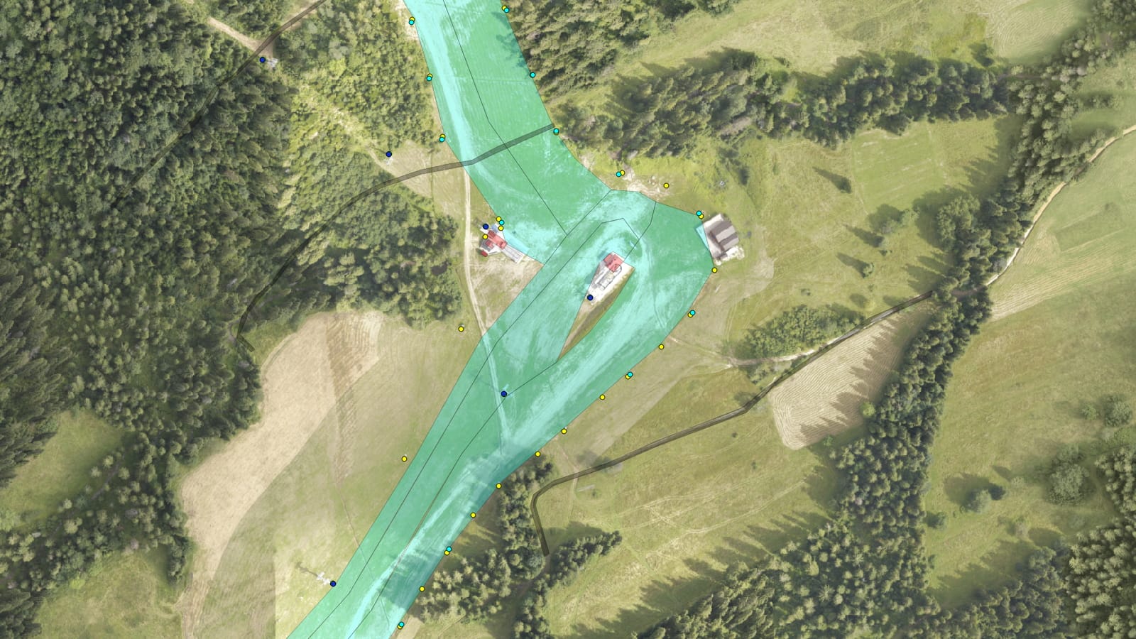
The scope of the project, made for the Kotelnica Ski Resort, included the delivery of data to the SNOWsat system database for snow cover management. The client was provided with a classified ALS point cloud with a density of 12-13 points/m2 with assigned RGB attributes for an area of approx. 4 m2. The Digital Terrain Model of the DTM was developed and an orthophotomap with a pixel of 5 cm was made based on the obtained aerial photos. The provided CAD (DWG) data was converted for the ski routes of the area under development into GIS (SHP) formats with the topology control of the objects.


