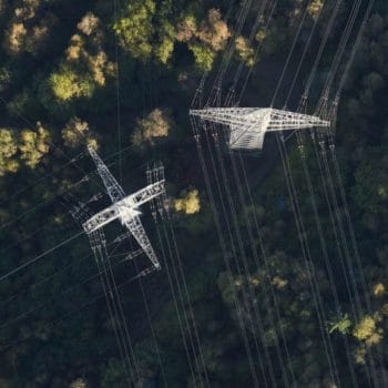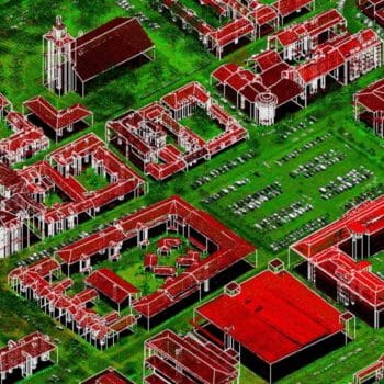
Aerial photogrammetry is a scientific and technical field that deals with the acquisition of geospatial data using aerial photographs. Over the past few years, it has played an increasingly important role in fields ranging from urban planning to environmental protection. One of the key products of aerial photogrammetry are orthophotos, which are invaluable tools in spatial analysis and planning.
What are orthophotos?
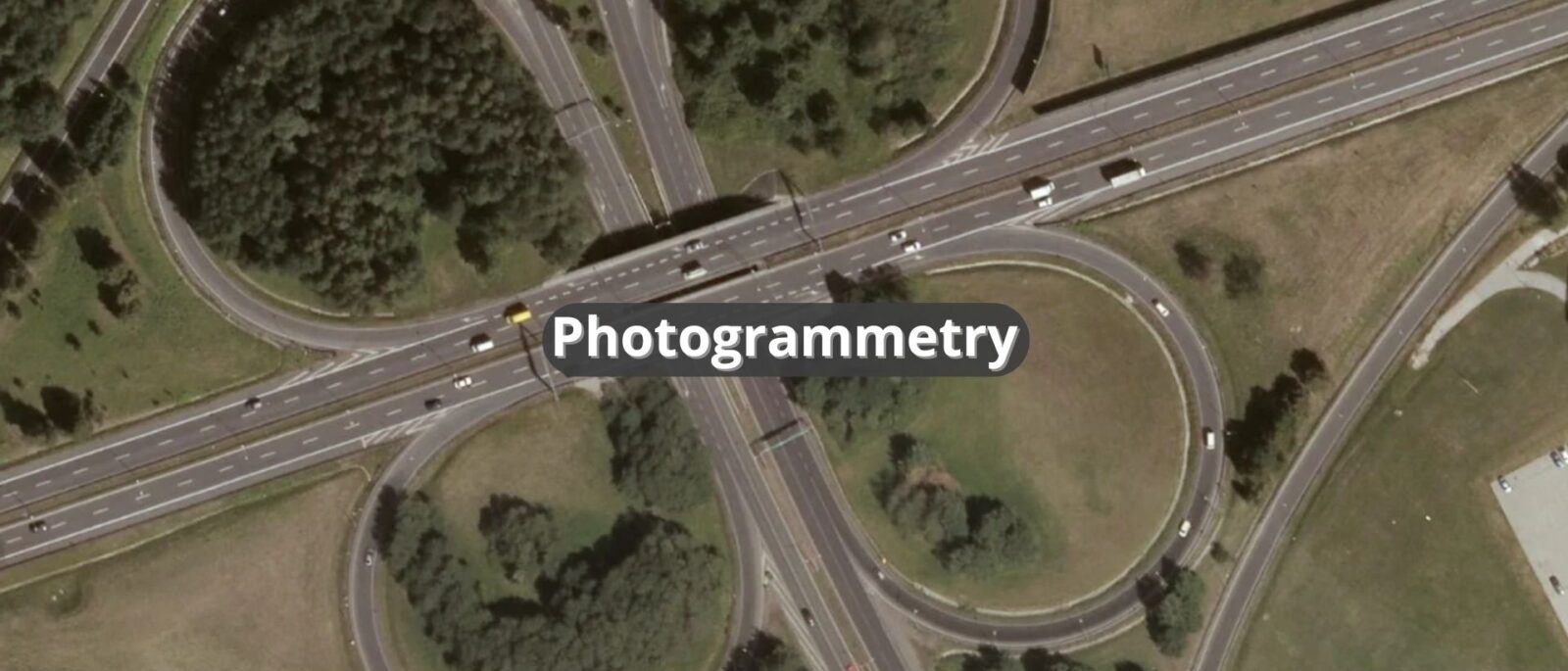
Orthophotos are images obtained by transforming aerial photographs so that they are geometrically correct. This means that each point on the orthophoto has accurate spatial coordinates, which makes it possible to use them for spatial measurements and analysis. The process of creating orthophotos consists of several steps, including geometric correction, perspective removal and color correction.
Applications of orthophotos
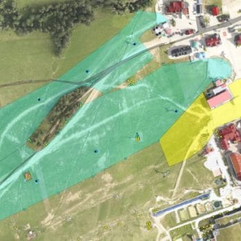
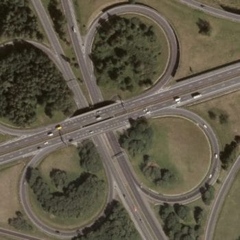
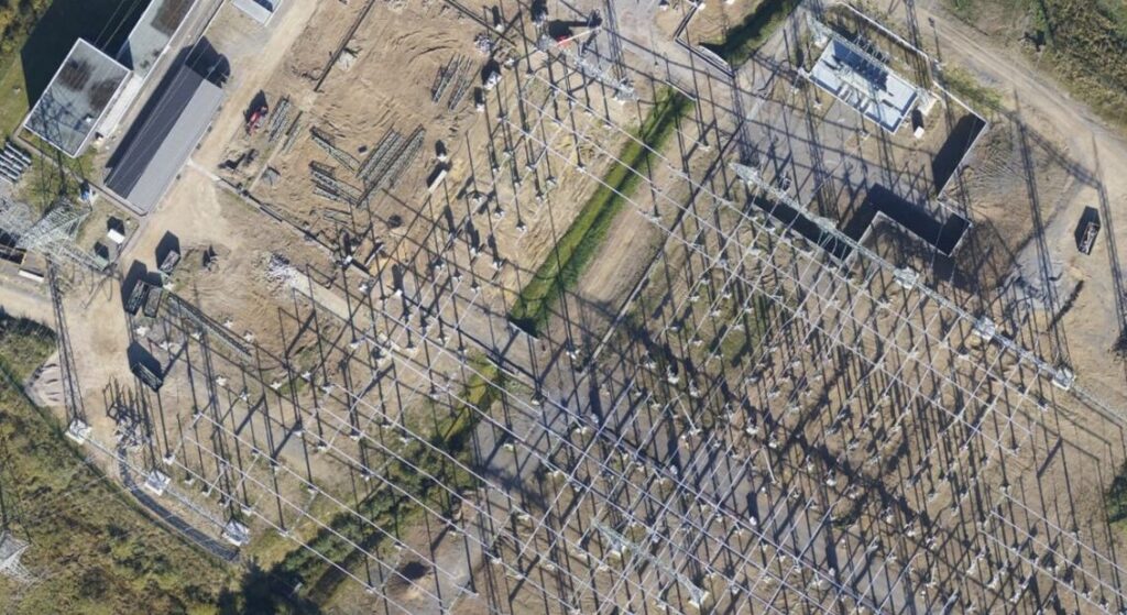
Orthophotos are used in many fields, including urban planning, environmental monitoring, agriculture, civil engineering, as well as archaeological and geological surveys. However, one of the most important applications of orthophotos is their use in spatial analysis. With orthophotos, it is possible to accurately measure the distance, area, shape and orientation of objects on the ground, which provides essential information for decision-making.
Orthophotos in aerial photogrammetry
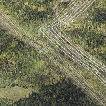
In aerial photogrammetry, orthophotos are an integral part of the aerial data processing process. Aerial photos are subjected to precise processing, resulting in orthophotos with high spatial resolution.
These maps are then used for surveying, terrain change analysis, three-dimensional terrain modeling and many other spatial tasks.
Advantages of orthophotos
There are many advantages to using orthophotos in spatial analysis. First, they provide accurate and reliable terrain information, which enables precise measurements and analysis. Second, orthophotos are easy to interpret, making it easier for users to quickly understand the spatial structure of the study area. In addition, orthophotos are updated frequently, allowing monitoring of changes over time.
Aerial photogrammetry: What do we offer?
We offer comprehensive studies in the field of widely understood photogrammetry. We prepare studies based primarily on aerial photos obtained with medium format cameras using the TerraPhoto software of the Terrasolid package. We have experience in the preparation of orthophotos with a 2 cm pixel and studies based on UAV technology.